


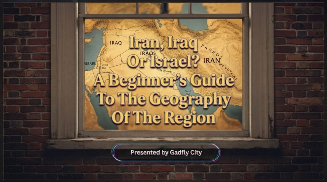
If you have ever looked at a Iran Iraq Israel geography map and wondered how these three countries fit together, you are not alone. The Middle East can seem confusing because countries that frequently appear together in news reports are not necessarily close neighbors. Understanding a few basic geographic ideas, location, borders, capitals, seas and strategic waterways, makes the entire region much easier to follow.
The easiest way to understand Iran Iraq Israel geography is to stop thinking of the three countries as one compact group. Iran is much farther east, Iraq sits between Iran and the Levant, while Israel lies farther west along the eastern Mediterranean. Their locations connect them to very different landscapes, neighbors and waterways.
Map Basics: Where Are Iran, Iraq And Israel?
Start with the broadest view of the Middle East map. Iran occupies the eastern side of the region, between the Persian Gulf and the Caspian Sea. Iraq is immediately to Iran’s west, while Israel is considerably farther west, on the Mediterranean coast.
A useful mental map is simple: Iran → Iraq → Syria/Jordan → Israel, moving generally from east to west. This is not a straight line, but it gives beginners a useful sense of direction.
The CIA’s physiographic map of Iran and physiographic map of Iraq are useful references when you want to see the countries in relation to surrounding terrain.
This distinction matters because Iran Iraq Israel geography is often misunderstood when news coverage discusses the countries together. Being part of the same broad region does not mean that the countries share borders or have identical physical geography.
Iran Geography: A Large Country To The East
Iran is the largest of the three countries by land area and occupies a strategically important position between Central Asia, the Caucasus, the Middle East and the Persian Gulf.
Its geography is dominated by mountains, plateaus and large interior desert areas. The Zagros Mountains stretch along much of western Iran, while the Alborz Mountains rise along the southern edge of the Caspian Sea.
Iran also has two particularly important bodies of water on its northern and southern sides: the Caspian Sea and the Persian Gulf. The country’s southern coastline leads toward the Strait of Hormuz, one of the world’s major maritime energy chokepoints.
Tehran is the capital of Iran. On a Middle East map, Tehran sits well north of the Persian Gulf and relatively close to the Alborz mountain range.
The geography becomes particularly important when discussing regional trade and security. The location of Iran means that events affecting the Persian Gulf can have consequences far beyond Iran itself.
For more context, see our article on Why The Strait Of Hormuz Matters To The Global Economy.
Iraq Geography: Between Iran And The Levant
Iraq sits directly west of Iran and forms an important geographic bridge between the Persian Gulf and the eastern Mediterranean region.
The country is strongly associated with the Tigris and Euphrates river systems. These rivers flow through the heart of the region historically known as Mesopotamia, helping explain why southern and central Iraq developed differently from its more mountainous northern areas.
Iraq borders Iran to the east, Turkey to the north, Syria and Jordan to the west, and Saudi Arabia and Kuwait to the south. It also has a short coastline along the Persian Gulf.
Baghdad, the capital, sits roughly in the central part of the country. Basra, farther south, is important because of Iraq’s access to the Persian Gulf.
The CIA describes Iraq as having northeastern highlands, western and southern desert plains, and the Mesopotamian Plain associated with the Tigris and Euphrates.
This is one reason Iran Iraq Israel geography is easier to understand when Iraq is treated as a geographic connector rather than simply another country involved in Middle Eastern politics.
Israel Geography: A Narrow Mediterranean Country
Israel is much smaller geographically than Iran or Iraq and is located on the eastern coast of the Mediterranean Sea.
Its position gives it a very different physical geography. The country includes Mediterranean coastal areas, inland hills and mountains, the Jordan Valley and large desert areas in the south.
Israel borders Lebanon to the north, Syria to the northeast, Jordan to the east and Egypt to the southwest. Its western side faces the Mediterranean Sea. Official Israeli geographic material also identifies the country’s connection to the Mediterranean, Jordan Valley, Dead Sea and Negev regions.
Jerusalem is identified by Israel as its capital, while the city’s status remains internationally contested. Tel Aviv-Yafo is another major city and an important economic and cultural center.
This distinction is important when reading a Middle East map because different maps may display borders, cease-fire lines and disputed territories differently. A map is therefore not always simply showing one universally agreed political boundary.
Borders: The Simplest Way To Connect The Three
If you are learning Iran Iraq Israel geography, borders provide one of the easiest ways to build a mental picture.
Iran and Iraq share a direct land border. Iraq, in turn, borders countries farther west, including Syria and Jordan. Israel lies farther west and does not share a land border with either Iran or Iraq.
That means Iran and Israel are not neighboring countries. They are separated geographically by several countries and territories.
A second useful point is that political geography can be more complicated than simply drawing lines around countries. Some boundaries in the region are internationally recognized, while other territorial lines, cease-fire lines or areas of control have different legal and political statuses.
This is particularly relevant to Israel and the Palestinian territories. Official geographic sources distinguish between international boundaries, cease-fire lines and other territorial lines, so beginners should be cautious when comparing maps.
Capitals: Tehran, Baghdad And Jerusalem
The capitals provide another easy way to remember the basic geography.
Tehran is the capital of Iran and lies in the country’s north-central area.
Baghdad is the capital of Iraq and lies along the Tigris River in central Iraq.
Jerusalem is the seat of Israel’s government and is claimed by Israel as its capital, although its international status remains disputed.
One common mistake is assuming that the largest or most internationally recognizable city must automatically be the capital. Geography and political administration do not always work that way.
Strategic Waterways: Why Geography Matters Beyond Borders
Physical geography becomes especially important when waterways connect countries to global trade.
The Strait of Hormuz lies between Iran and Oman and connects the Persian Gulf with the Gulf of Oman and the Arabian Sea. The U.S. Energy Information Administration describes it as a major oil transit chokepoint because substantial energy shipments pass through the waterway.
This gives Iran a geographic position that is different from Iraq or Israel. Iraq has a small outlet to the Persian Gulf, while Israel has access to the Mediterranean and, through its southern port area, the Red Sea.
The lesson is straightforward: a country’s geography can matter even when that country is not physically large. A narrow waterway, mountain pass or coastline can connect a local location to much larger international systems.
Regional Neighbors: Think In Layers
Instead of memorizing every country at once, think about the region in layers.
Iran connects geographically toward Turkey, Iraq, the Caucasus and Central Asia, while its southern coast opens toward the Persian Gulf and Gulf of Oman.
Iraq sits between Iran and the countries of the Levant and Arabian Peninsula. Its position also connects the Persian Gulf with inland routes toward Syria, Jordan and Turkey.
Israel sits on the Mediterranean side of the region, next to Lebanon, Syria, Jordan and Egypt. Its geography includes the Mediterranean coast in the west and the Jordan Valley and Dead Sea farther east.
Once these layers become familiar, Iran Iraq Israel geography becomes much easier to visualize.
Common Geography Misconceptions
One common misconception is that Iran, Iraq and Israel are neighboring countries. They are not. Iran borders Iraq, but Israel is farther west.
Another misconception is that the Persian Gulf is beside Israel. It is not. Israel’s principal coastline is on the Mediterranean Sea, while the Persian Gulf lies much farther east.
A third misconception is that every Middle Eastern country has the same landscape. Iran contains extensive mountains and deserts; Iraq is strongly shaped by its river plains and desert regions; Israel combines Mediterranean coastal areas, mountains, valleys and desert.
Finally, geography should not be confused with geopolitics. Countries can be geographically distant while still being closely connected through diplomacy, trade, military relationships or regional conflicts.
Our article Can The U.S Beat Iran In A War? explores a different dimension of Iran’s regional position, while Who Won The Cold War? A Complete Analysis Of The Key Factors provides broader historical context for understanding how modern geopolitical relationships developed.
A Simple Mental Map To Remember
If you only remember five things from this guide, remember these:
- Iran is the large country to the east, with coastlines on the Caspian Sea and Persian Gulf.
- Iraq lies immediately west of Iran and is shaped heavily by the Tigris and Euphrates.
- Israel is much farther west, on the eastern Mediterranean coast.
- The Strait of Hormuz connects the Persian Gulf to the Gulf of Oman and is geographically important for global energy movement.
- Borders and territorial lines in the region are not always as simple as the lines shown on a basic political map.
The real value of learning Iran Iraq Israel geography is not memorizing isolated facts. It is learning how location creates relationships. Mountains influence movement, rivers shape settlement, coastlines create trade routes and narrow waterways can give a small geographic area global importance.
Frequently Asked Questions
Are Iran, Iraq And Israel Close To Each Other?
Iran and Iraq directly border one another, but Israel is farther west. Syria, Jordan and other territories lie between Iraq and Israel, so the three countries should not be pictured as one compact neighborhood.
Does Iran Border Israel?
No. Iran and Israel do not share a land border. Iran is east of Iraq, while Israel is farther west in the eastern Mediterranean region. Their geographic separation is therefore significant.
What Is The Capital Of Iran?
Tehran is the capital of Iran. It is located in the north-central part of the country near the Alborz Mountains and north of Iran’s major Persian Gulf coastline.
What Is The Capital Of Iraq?
Baghdad is the capital of Iraq. It is located along the Tigris River in central Iraq and is geographically positioned between the country’s northern and southern regions.
What Sea Is Israel On?
Israel’s main coastline is along the Mediterranean Sea. The country also has a small southern coastline near the Red Sea through the Gulf of Aqaba, giving it access to another important maritime route.
Why Is The Strait Of Hormuz Important?
The Strait of Hormuz connects the Persian Gulf with the Gulf of Oman and Arabian Sea. Its location makes it an important route for international energy shipments and maritime trade.
Is Iraq Part Of The Persian Gulf Region?
Yes. Iraq has a short coastline on the Persian Gulf, although most of the country is inland. Its location connects the Gulf with the wider river plains and overland routes of the Middle East.
Explore More Gadfly City Geography Stories
At Gadfly City, we believe geography becomes easier when complicated regions are broken into understandable relationships between places, borders, waterways and history. We can continue exploring these connections through more of our geography and history stories, including Why The Strait Of Hormuz Matters To The Global Economy, and build a clearer mental map of the world one region at a time.